

File:Australia location map.svg
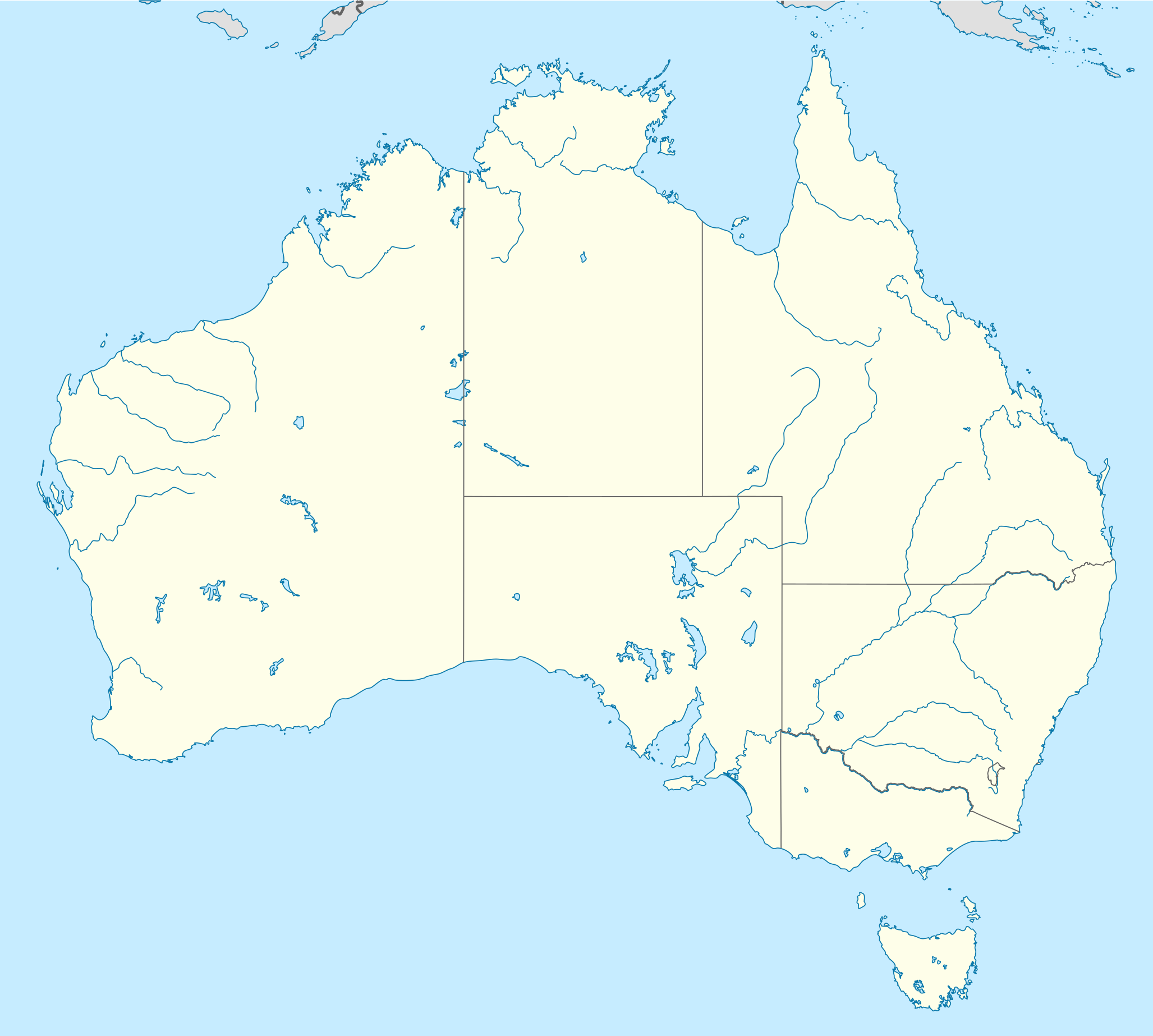
Size of this PNG preview of this SVG file: 667 × 599 pixels. Other resolution: 2,280 × 2,048 pixels.


Original file (SVG file, nominally 2,055 × 1,846 pixels, file size: 185 KB)
Summary
Summary
| Description |
Template:De Quadratische Plattkarte, N-S-Streckung 110 %. Geographische Begrenzung der Karte:
Template:En Equirectangular projection, N/S stretching 110 %. Geographic limits of the map:
|
|---|---|
| Source |
own work, using
|
| Date |
2008-09-18 |
| Author | |
| Permission (Reusing this file) |
This file was uploaded by the photographer or author. |
| Other versions | Template:DerivativeVersions |
Preserved source attribution
Authors: NordNordWest Licence: CC BY-SA 3.0 (https://creativecommons.org/licenses/by-sa/3.0) Original uploader: AndreyKva.
Import provenance
The recorded source uploader is AndreyKva; upload date: 2019-03-12T01:54:34Z. Source description and licensing information, when available, appear above.
File history
Click on a date/time to view the file as it appeared at that time.
| Date/Time | Thumbnail | Dimensions | User | Comment | |
|---|---|---|---|---|---|
| current | 09:03, 31 October 2026 | | 2,055 × 1,846 (185 KB) | Maintenance script (talk | contribs) | Imported from recorded source; see file description for attribution |
You cannot overwrite this file.
File usage
The following 6 pages use this file:

